Return to Map Specimen Database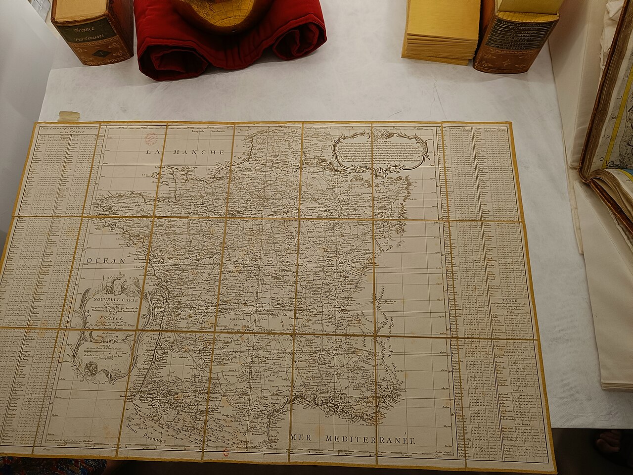
Era: Age of Discovery & Imperial·Cartographer: César-François Cassini de Thury (Cassini III)·Year: 1744·Public Domain
Carte de Cassini (1744–1789)
"The first nationwide geometric triangulation survey in human history"
Commissioned by King Louis XV and executed over four generations of the Cassini dynasty, this 180-sheet survey used geodetic theodolite triangulation across mountain peaks to map France with unprecedented scientific precision.
Interactive Specimen Pan & ZoomAccession: BnF Ge DD 2987
Orientation: North-Up
180 sectional sheets covering entire Kingdom of France
César-François Cassini de Thury (Cassini III)·1744·Bibliothèque nationale de France (BnF) / Rumsey
ZOOM: 100%Repository Archive
Notable Cartographic Signatures
- First systematic triangulation network covering an entire country
- When the first survey was presented to Louis XV, he remarked that Cassini's accurate measurements cost him more land than any foreign war
- Detailed depiction of every windmill, parish church, road, and chateau
The Rhetorical & Ideological Argument
"The sovereign state is defined not by feudal boundaries or oral custom, but by rigorous scientific trigonometry anchored to the Paris Meridian."
Explicit Features
- First systematic triangulation network covering an entire country
- When the first survey was presented to Louis XV, he remarked that Cassini's accurate measurements cost him more land than any foreign war
- Detailed depiction of every windmill, parish church, road, and chateau
Intentional Omissions
- Topographic elevation contours (used hachures for relief)
Physical Specimen & Geodesy
Projection:
Cassini Transverse Cylindrical Projection
Orientation Axis:
North-Up
Physical Medium:
Copperplate engraving based on geodetic triangulation
Original Physical Dimensions:
180 sectional sheets covering entire Kingdom of France
Custodial Repository:
Bibliothèque nationale de France (BnF) / Rumsey
Accession: BnF Ge DD 2987
Interdisciplinary Context & Connections
MorphologiumPIONEERS
Geodetic Triangulation Networks
JuralogiumSTANDARDIZES
National Cadastral Boundary Surveying
Academic Provenance: Cassini de Thury, C.-F. (1789)